map


map
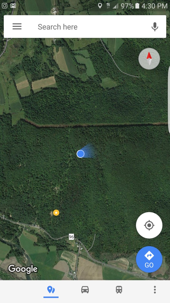
If I zoom out on the map far enough you can see how close my property is to the Vermont border!
map
Cool to open up GPS and see where I am on the property as I was learning the land.
map
...about putting an offer on the cabin I'd seen in upstate New York back in September of 2016.
map
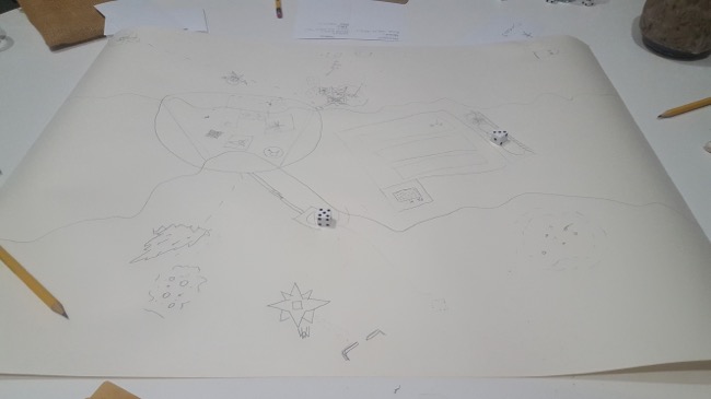
Before each turn, you draw a card and you get a prompt for an additon you have to make to the story and add a correlary drawing of it on the map.
map
map
We loaded up the van and headed over to see Watkins Glen Gorge Trail
map
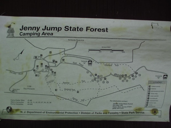
...I opted to drive over to the nearby Jenny Jump State Forest.
map
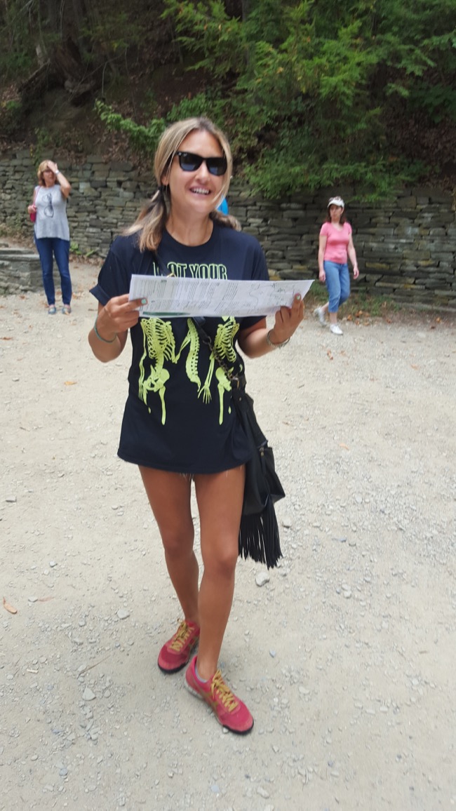
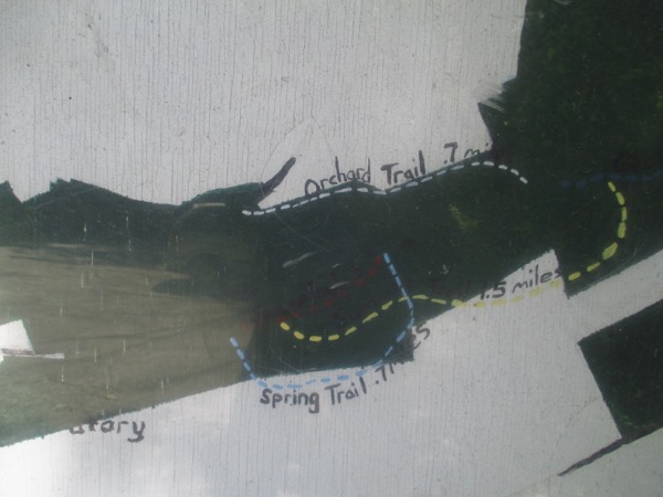
I always take pics of the posted trail maps before setting off on a hike so I'll have a reference copy on my camera.
map
There's a really good photo of an Edie doppleganger on the fridge!
map
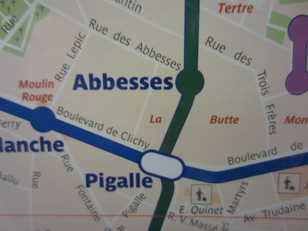
...got off at Pigalle...
paris
December 16, 2012
map
After arriving in Paris, I had to figure out how to get from the train to the Couronnes stop
paris
December 16, 2012
map
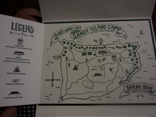
...and inside were maps to help us find our way!
map
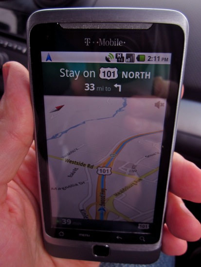
...and headed north on the 101...
map
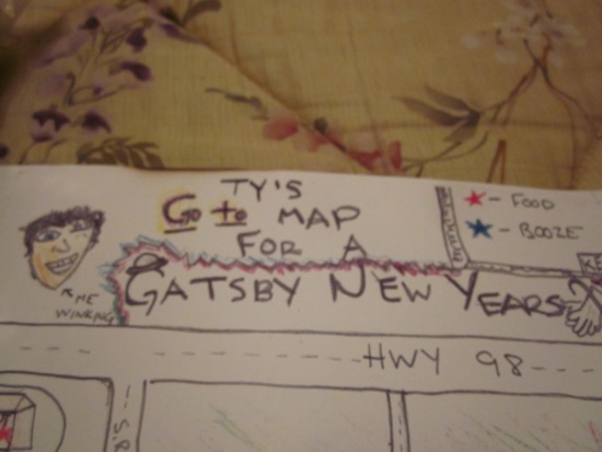
...including where we'd be having dinner for the big New Year's Party.
map
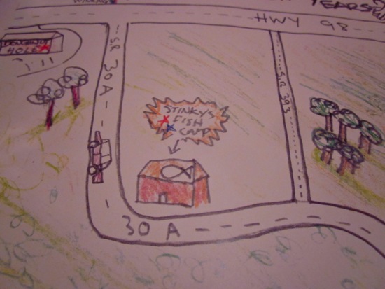
We were also given hand-drawn maps that pointed out various places of interest in the area...
map
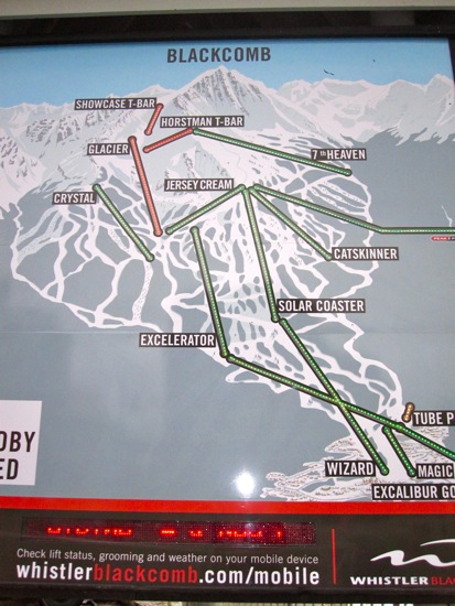
On Sunday, we decided to ride Blackcomb.
whistler
March 26, 2010
map
See you in six hours worth of terrible movies!
whistler
March 26, 2010
map
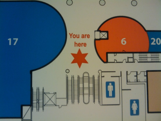
You are
here
Sheriff / Jew
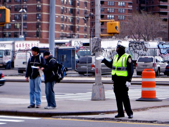
We choose Ubud, Bali's inland capital city as our next (and last) destination! The drive took about an hour and twenty minutes.
map
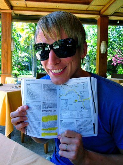
After 3 days in Pemuteran, we had decided it was time to move on. We busted out the guidebook and started looking at possible next-destinations!
After a whole ten minutes of deliberation, we decided to drive about thee hours to the east and south of Pemuteran up into Bedugal, the mountainous, central highlands of Bali! (Bedugal is only about 30 miles inland from Bali's northern coast, but in that short amount of space, the land goes from sea-level to 4,500 feet above sea level!)
honeymoon in bali part two
September 06, 2009
map
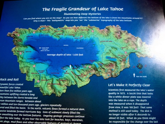
It's because it has an average depth of 1,630 feet!
our wedding in tahoe
September 01, 2009
map
Plus, on the way back, we got lucky and spotted another one worth a lot of points: PHOTO OF TOURISTS LOOKING AT A MAP!
map
Afterwards, we hung out back at his place for a little bit, then I took a quick shower, said farewell to Faisal, thanked him for his hospitality and laughed about how I'd been at his house in Abu Dhabi TWICE in less than one year...
map
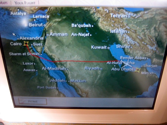
Here's the map showing how I flew about 1500 miles out of the way east first for a layover in Abu Dhabi!
Check it out! Here's what the Blue Hole looks like shot from space! It's also considered to be one of most fatal diving spots on the planet (so I figured what better place to get my deep diving certification!).

"The Blue Hole is notorious for the number of diving fatalities which have occurred there earning it the sobriquet, "World's Most Dangerous Dive Site" and the nickname "Diver's Cemetery". The site is signposted by a sign that says "Blue hole: Easy entry". Accidents are frequently caused when divers attempt to find the tunnel through the reef (known as "The Arch") connecting the Blue Hole and open water at about 52 m depth. This is beyond the PADI recreational diving limit (40 m) and nitrogen narcosis begins to have an influence. Divers who miss the tunnel sometimes continue descending hoping to find the tunnel farther down and become increasingly narced."
map
Here's an example of one of the boards that was posted to help give visitors some context to the different areas of the temple.

Turns out, without the ferry running I only had two options: Go to the airport and take a twenty-minute flight from Hurghada to Sharm El Sheikh (represented by the two blue pins on the map above). Or, I could take a FIFTEEN HOUR BUS RIDE all the way up north by the Suez Canal, and then across the peninsula and south. (The route denoted by the red path!).

If you're a genius like me, you probably had already worked it out that flying would be WAY faster. So it seemed like a no-brainer until I called the airline and learned that all flights from Hurghada to Sharm el-Sheikh were sold out for the next three days! (Which, if you ask me, is PROBABLY related to the fact that THE FERRY WASN'T RUNNING).
egypt: part three
March 21, 2008

The blue lines on the map represent my guess about the route we traveled, because as you can see on the map, there are any official roads that connect Luxor and Hurghada!
egypt: part three
March 21, 2008
map
...back to Dubai!
map
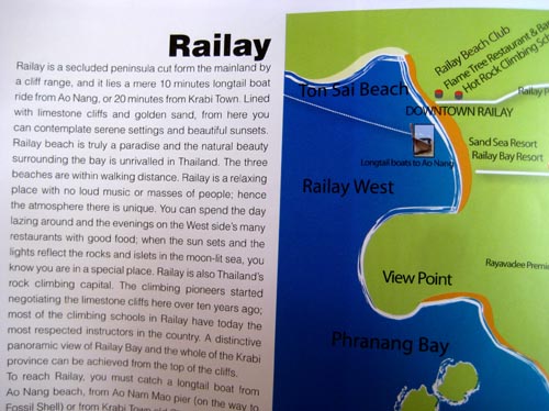
I took a photo of this page because this is the one place in Thailand that my former roommate needs to visit. I think she'd railay, railay like it. Like, a lot.
map
On to the park!
map
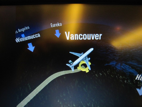
Fast-forward another two hours or so and we're in the air over New York City and headed for the United Arab Emirates!
map
After the beach I decided to sneak in two more dives - our flight wasn't until late in the afternoon the next day and I calculated that I'd still be safe to fly without having to worry about my heart exploding. (Even though airplane cabins are pressurized, they have much less pressure than sea-level. If you any nitrogen left in your blood that hasn't been aspirated, you might be fine at sea level, but getting on a plane could give you the bends or even a deadly blood embolism!) Anyway, here's a map of my second-to-last dive: Three Sisters!
map
I took this (bad) photo of the dive map hoping I could reference it on my camera if I go lost! (We were only diving to a depth of 20', so I'd always be able to just surface if I lost my orientation - but that's for cheaters!)
map
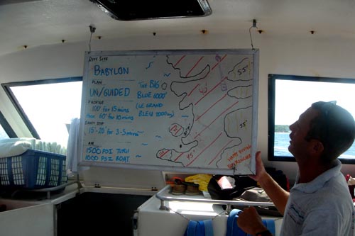
I got up bright and early on Wednesday morning and headed out on the boat for a three-dive trip! The first (and deepest) dive of the day was at a dive spot called "Babylon." Here's our divemaster walking us through a map of the site.
map
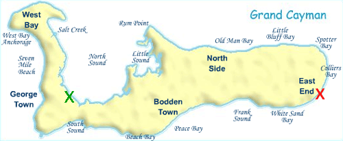
Even though Grand Cayman is the largest of the Cayman Islands, it's still pretty tiny. (It's around 200 sq. km. which is about 2.5 times the size of the island of Manhattan). The airport is the green "x" on the map and Compass Point is the red "x" which turned out to mean that it really was far away from the touristy hotels and was out in the middle of nowhere! It was only about 20 or 25 miles away, but because the only road was really twisty and windy, it took us about 40 minutes to drive out there!
map
Since August is pretty much the down-season and they had a lot of vacancy, they ended up giving us a double unit that had a full kitchen, living room (with a sleeper bed), 2 bedrooms and two full bathrooms! All of this right on the water with a balcony overlooking the ocean!
map
For the geographically challenged, the Cayman Islands are three teeny, tiny islands located about 350 miles off the tip of Florida. They're south of Cuba and west of Jamaica.
map
Taking the A-train to Far Rockaway for...
map
Warm weather? The subway? West 4th Street? There can only be one explanation:
map
On Monday morning, Meredith and I got up bright and early and took the F train over to West 4th Street station.
map
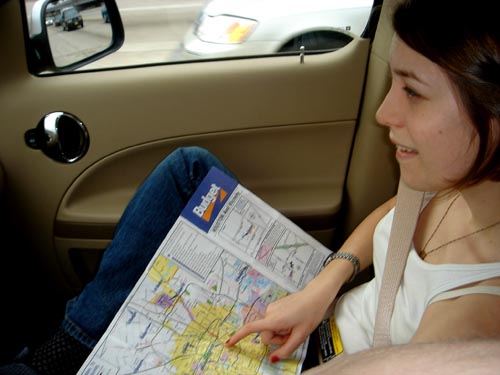
Luckily, I had an expert navigator manning the map!
map
A few hours later...
map
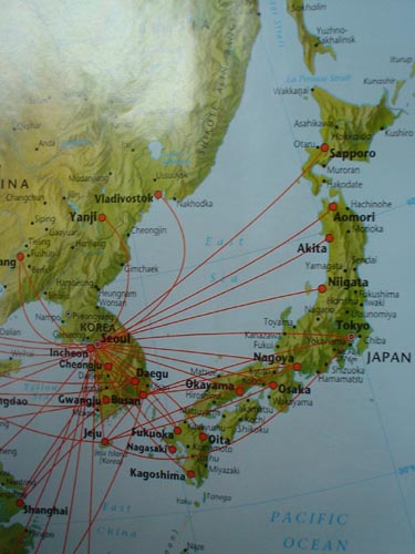
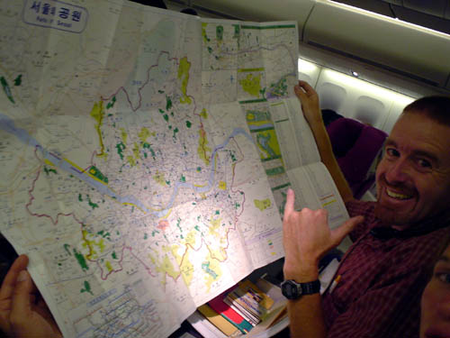
On the plane I ended up sitting next to Matt (who was the person responsible for organizing the trip) and Lara. Here's Matt busting out a map of Korea to show me the location of the two different camps that we'd be teaching English at.
map
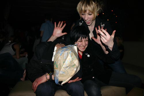
She and her friend wanted to pose for funny pictures with him, but when her friend leaned in for the pic, she slipped and the two of them ended up falling backwards and...
map
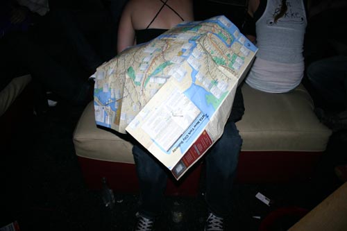
...with this NYC Subway map that someone conveniently had in their bag.
map
Hahaha.
map
A happy little sailor's cap! Yay!
map.gif
original not copied to this machine yet
Map of the drive.
map
See, it doesn't look far, right? Looking at the map we figured it would only be a half an hour, but because of the windy coastal roads, took us almost 90 minutes!
map
As the crow flies, Agia Galini isn't far from Rethymnon.
crete.jpg
original not copied to this machine yet
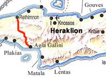
The circle in the middle is our resort (outside of Rethymnon), the circle on the left is Hania, and the circle on the right is Balí.
iceland.gif
original not copied to this machine yet
See? There's Keflavik in the southwestern corner of the map.
DSC03792.jpg
original not copied to this machine yet
7:25am: Lost. We were right on target until the highway we were on turned into this crazy-ass rotary that shot us off in the wrong direction. We stopped at a gas station for directions, but nobody there spoke enough English to be helpful - so we hunkered down with the map and tried to figure it out. (Check out Fatty's priceless "We're lost" expression).
DSC00976.jpg
original not copied to this machine yet
North Jersey Coastline action.
map
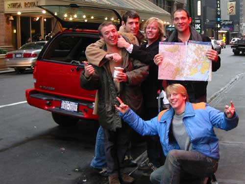
Here's the New York Five, coldlamping in front of our pimpin' rented Blazer. From Left: Grant, Dave "Fatty" Fateman, Colin "Big Daddy" Gentle and Frank "Seven Layer" Picarazzi.
map
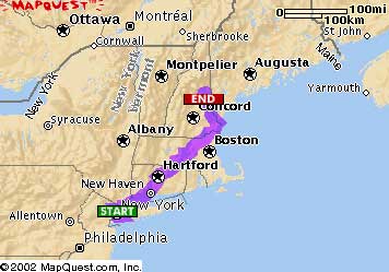
Total Distance - 322.57 miles
Total Estimated Time - 5 hours, 56 minutes
Actual Time because of shitty-ass traffic - 8 hours, 24 minutes (fack!)
map
New York, NY to West Ossipee, NH
Total Distance: 322.57 miles
Total Estimated Time: 5 hours, 56 minutes
map
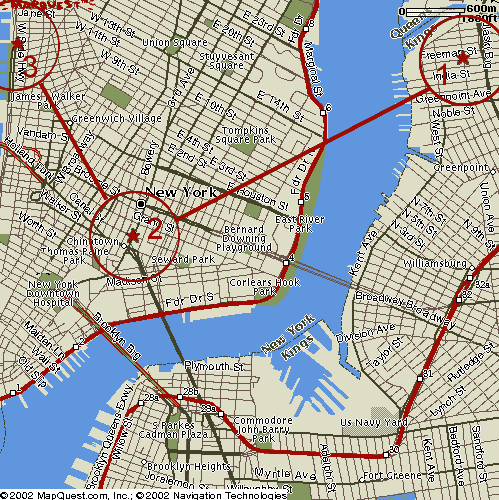
1) My old place 100 Freeman Street in Greenpoint, Brooklyn.
2) My new place (Brian Chamber's old place) at 105 Bowery (between Hester and Grand).
3) Brian Chamber's new place at Horatio and the West Side Highway.
map
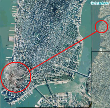
All the pics above were taken with a crappy little disposable camera. These two maps show where I live and where the above photos were taken.
map
Mapquest version.
Here's a map of the route we took!